FMX.Maps.TMapLayerOption
Delphi
TMapLayerOption = (PointsOfInterest, Buildings, UserLocation, Traffic);
C++
enum class DECLSPEC_DENUM TMapLayerOption : unsigned char { PointsOfInterest, Buildings, UserLocation, Traffic };
Properties
| Type | Visibility | Source | Unit | Parent |
|---|---|---|---|---|
| enum | public | FMX.Maps.pas FMX.Maps.hpp |
FMX.Maps | FMX.Maps |
Description
Extra map layers.
The available values for TMapLayerOption are:
PointsOfInterestBuildingsUserLocationTraffic
Platform Support and Screenshots
| TMapLayerOption | Android | iOS | ||
|---|---|---|---|---|
| Comment | Screenshot | Comment | Screenshot | |
|
|
Not supported. |
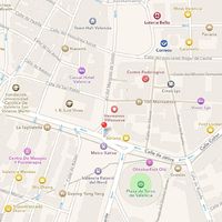
Shows the points of interest on the map. |
||
|
|
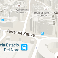
Shows the 3D buildings on the map. Notes:
|
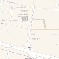
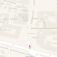
Shows the 2D silhouettes of buildings on the map. Notes: |
| |
|
|
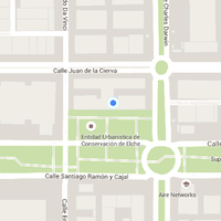
Displays the location of the user. The surrounding circle denotes the estimated accuracy of the location. The accuracy depends on your device and the available sensors that are used to determine the location (such as GPS sensor, Wi-Fi network). |
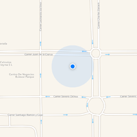
Displays the location of the user. The surrounding circle denotes the estimated accuracy of the location. The accuracy depends on your device and the available sensors that are used to determine the location (such as GPS sensor, Wi-Fi network).
|
||
|
|
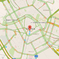
Displays the traffic information overlay. |
Not supported. | ||
